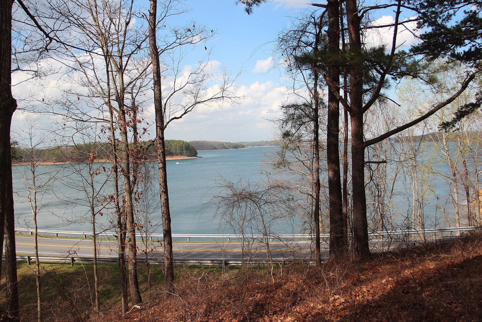
Almost every large body of fresh water in this state was made on purpose, and knowing who made it tells you more about your day than any brochure will. The big reservoirs were built by the Army Corps of Engineers or by a power company, the mountain lakes are older and narrower and belong to a different kind of trip, and the rivers — the genuinely wild part of the story — run through country most visitors never see. Choosing between lakes in Georgia is really a question of who manages the shoreline, because that decides whether you can swim, where you can launch, what it costs and whether the water will rise while you are standing in it. This guide sorts the state’s water by activity, sets out access fees and fishing licenses (checked September 2026), explains dam releases properly, and gives two to four-day itineraries. Georgia here is the American state — the Chattahoochee and the Okefenokee — not the country in the Caucasus.
One number frames the rest. Georgia has more than a dozen major reservoirs and not one large natural lake, and the single biggest natural body of water in the state is a swamp that became a UNESCO World Heritage Site on 25 July 2026.
The short answer: which water, for what
| You want to… | Go to | Managed by | The catch |
|---|---|---|---|
| Rent a boat and swim, near Atlanta | Lake Lanier or Allatoona | Army Corps of Engineers | Summer crowds; day-use and launch fees |
| Somewhere quiet and beautiful | Lake Burton, Rabun or Seed | Georgia Power | Almost entirely private shoreline |
| Deep, clean, undeveloped water | Carters Lake | Army Corps of Engineers | Steep shoreline, fewer facilities |
| Serious whitewater | The Chattooga | US Forest Service, Wild and Scenic | Guided only for the hard sections |
| Family paddling and tubing | The Chattahoochee at Helen | Private operators | Memorial Day to Labor Day only |
| Wilderness canoeing | The Okefenokee | US Fish and Wildlife Service | Permits 2 weeks ahead, by phone; low water |
| Fishing without a boat | A state park lake | Georgia DNR | $10 parking, plus a license |
| A swimming beach with lifeguards | Nowhere reliably | — | Inland Georgia does not generally staff them |
Who owns the water, and why it decides your day
This is the part no list explains, and it governs everything else on this page. Georgia’s fresh water sits under five different managers, each with its own rules.
- The US Army Corps of Engineers built and runs the biggest reservoirs: Lanier, Allatoona, Hartwell, West Point, Carters, Clarks Hill and others. Corps parks have public ramps, designated swim beaches and campgrounds, and they charge day-use and boat-launch fees. Those fees have moved recently — at Lake Lanier they rose from $4 to around $8 in summer — so check the current rate with the Mobile District before you go rather than arriving with four dollars.
- Georgia Power manages the Tallulah River chain in the northeast — Burton, Rabun, Seed, Tugalo, Yonah — plus Oconee and Sinclair in the middle of the state. These lakes are mostly ringed by private property, with public access concentrated at a handful of ramps and parks. Beautiful, and harder to get to the water on.
- The Tennessee Valley Authority runs the lakes on the Tennessee side of the divide: Blue Ridge, Nottely and Chatuge. Different agency, different rules, same mountains.
- Georgia DNR runs the state parks, many of which sit on a lake and provide the easiest public access in the state — a beach, a ramp, a rental dock and a car park, for $10 a day or a $70 annual ParkPass.
- Federal conservation agencies — the Fish and Wildlife Service at the Okefenokee, the Forest Service on the Chattooga and the national forest streams, the Park Service on the Chattahoochee River National Recreation Area above Atlanta. These have the strictest rules and the best water.
The practical upshot: if you want to just turn up and get in the water, go to a state park or a Corps park. If you want quiet, go to a Georgia Power lake and accept that you will be launching from one of very few public ramps.
The big reservoirs
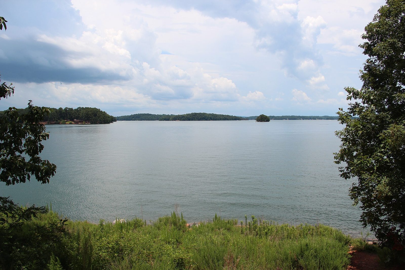
Lake Lanier
An hour north of Atlanta and the most heavily used lake in the state. It has the deepest inventory of everything — rentals, ramps, marinas, campgrounds, a water park — and on a July Saturday it is genuinely crowded, with boat traffic to match. It is the right choice if you want to rent a pontoon without planning and the wrong one if you want quiet. Corps parks charge day-use and launch fees, and those fees increased recently, so verify before you arrive. The Corps occasionally waives them nationwide for a holiday weekend, as it did for 3 to 5 July 2026.
Lake Allatoona
Northwest of Atlanta off I-75, smaller and closer than Lanier, with Red Top Mountain State Park on its shore providing the simplest public access on the lake: beach, ramp, campground and cottages, all for the state park parking rate. Busy at weekends, quiet midweek, and the best “we decided this morning” lake in Georgia.
Carters Lake
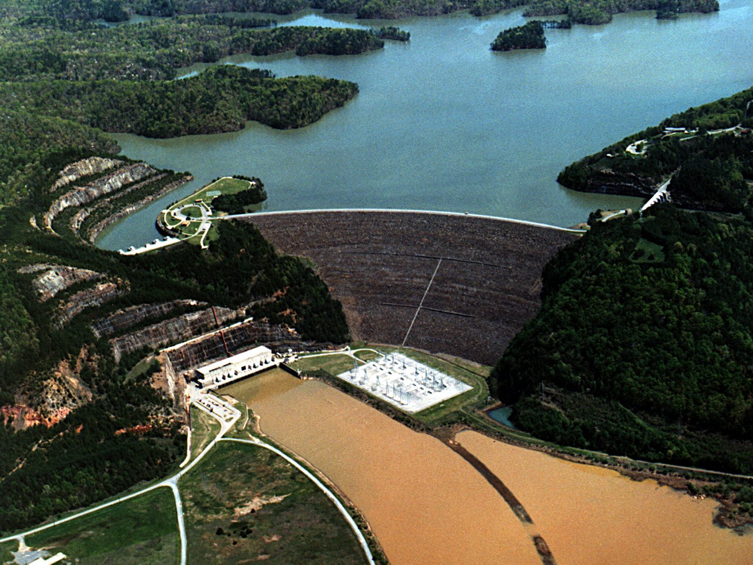
The one most Georgians have never been to and the one worth the drive. Carters sits on the Coosawattee in Murray County behind the tallest earth-fill dam east of the Mississippi, it is the deepest reservoir in the state, and because its shoreline is steep and largely undeveloped the water is strikingly clear by Georgia standards. Fewer facilities, fewer people, better swimming.
Hartwell, Clarks Hill and West Point
The big border lakes. Hartwell and Clarks Hill — the latter also called Strom Thurmond — straddle the Savannah River on the South Carolina line and are enormous, with Corps parks, state parks and marinas on both sides. West Point sits on the Chattahoochee toward Alabama. All three are working reservoirs with good bass fishing, plenty of public access, and shorelines that go on longer than you expect. Hartwell is the most developed; Clarks Hill has the most water and the fewest people per acre.
Oconee and Sinclair
Georgia Power’s pair in the middle of the state, near Milledgeville and Eatonton. Warmer than the mountain lakes, well served by resorts and rentals, and the obvious water stop on an Antebellum Trail trip. Sinclair runs shallower and warmer; Oconee has the newer development.
Seminole, Walter F. George and the southwest corner
The far southwest is Georgia’s least visited water and its warmest. Lake Seminole, at the point where the Chattahoochee and the Flint meet on the Florida line behind Jim Woodruff Dam, is shallow, weedy and famous among bass anglers for exactly that reason — it fishes like nowhere else in the state. Walter F. George, also called Lake Eufaula, sits further north on the Chattahoochee along the Alabama border and has a similar reputation.
Neither is a scenery destination and neither pretends to be. They are fishing lakes with Corps parks, ramps and campgrounds, a long way from anywhere, and they are cheap. If your trip is about catching something rather than looking at something, this corner is where Georgia’s serious anglers go, and the drive south is the price of admission.
The mountain lakes
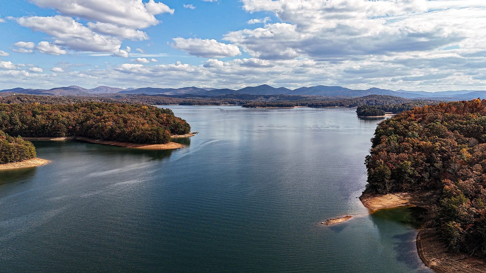
These are narrower, colder and set among ridges rather than in rolling country, and they are a different kind of trip entirely.
Burton, Rabun and Seed
Georgia Power’s Tallulah River chain in Rabun County, and the prettiest water in the state. Narrow, wooded, ringed by boathouses and mountain slopes, and almost entirely private around the edge — which means the experience is either “I have access to a dock” or “I launched from one of the few public ramps and spent the day on the water.” Clayton is the base. This is where Georgians with money keep lake houses, and the reason is visible from the water.
Blue Ridge, Nottely and Chatuge
TVA lakes on the Tennessee side of the divide. Lake Blue Ridge is the accessible one, twenty minutes from the town of Blue Ridge with rentals, a marina and a Forest Service campground. Nottely and Chatuge sit further east near Blairsville and Hiawassee and are quieter.
The small state park lakes
The easiest water in north Georgia to actually use. Lake Trahlyta at Vogel State Park has a beach, a rental dock and a short loop trail, and it is the gentlest introduction to a Georgia mountain lake there is. Unicoi State Park near Helen has the same arrangement plus a lodge. Lake Winfield Scott, on Forest Service land off GA 180, is smaller again and quieter.
Nine waters at a glance
| Water | Manager | Swim | Public ramps | Rentals | Camp | Best for |
|---|---|---|---|---|---|---|
| Lanier | Corps | Designated beaches | Many | Extensive | Yes | Turning up and renting a boat |
| Allatoona | Corps | Designated beaches | Many | Good | Yes | A spontaneous day from Atlanta |
| Carters | Corps | Designated areas | Some | Limited | Yes | Clear water and quiet |
| Hartwell | Corps | Designated beaches | Many | Good | Yes | Big-water boating and bass |
| Clarks Hill | Corps | Designated beaches | Many | Some | Yes | Space; fewest people per acre |
| Burton / Rabun / Seed | Georgia Power | From a boat | Very few | Limited | Nearby | Scenery, if you can launch |
| Blue Ridge | TVA | Designated areas | Some | Good | Yes | A mountain lake with facilities |
| Trahlyta (Vogel) | Georgia DNR | Park beach | Small craft | Boathouse | Yes | The easiest water in north Georgia |
| Seminole | Corps | Designated areas | Many | Some | Yes | Bass fishing, and little else |
Two patterns fall out of that table. Corps water is where the public infrastructure is — ramps, beaches, campgrounds — and Georgia Power water is where the scenery is. State park lakes are the compromise: smaller, but with everything in one car park.
The rivers
Georgia’s rivers are the genuinely wild part of its water, and they range from world-class whitewater to blackwater so slow you can float it all day without paddling.
The Chattooga
The Georgia–South Carolina border river, designated Wild and Scenic, and the best whitewater in the southeast. Section III is a full day of Class III with a big rapid at the end; Section IV is Class IV–V and is not a beginner’s river under any circumstances. Both are run by licensed outfitters and the hard sections are effectively guided-only. The Chattooga has no dam above it, which means its level depends entirely on rain, and a trip can be cancelled or changed on the morning. Ask about the current level when you book.
The Chattahoochee
Two completely different rivers with the same name. At Helen, the upper Chattahoochee is a shallow mountain stream and the state’s classic tubing run, with two operators, rates around $14 on weekdays and $16 at weekends and holidays, shuttles included. The season runs Memorial Day to Labor Day only — it is over before Oktoberfest starts, which catches out a remarkable number of visitors every September.
Below Buford Dam, in the Chattahoochee River National Recreation Area above Atlanta, it is a cold tailwater with trout in it, flowing through the suburbs, and the water temperature is a serious matter rather than a pleasant surprise. See the dam-release section below before you get in.
The Chattahoochee River National Recreation Area
An unusual national park unit: not one park but a string of separate riverside tracts along the Chattahoochee between Buford Dam and Atlanta, administered by the National Park Service. It is the closest genuinely wild-feeling water to a major southern city, with hiking, fishing, tubing and paddling inside the metro area, and it is used heavily by Atlantans and almost entirely ignored by visitors.
Two practical notes. A parking fee applies at the park’s units and is collected per vehicle — check the current rate on the Park Service site, since it is not the same as the state ParkPass and the ParkPass does not cover it. And this is tailwater: the river here is cold year-round because it comes from deep in Lake Lanier, so the trout fishing is good and the swimming is colder than the air temperature suggests.
The Toccoa
Below Blue Ridge Dam the Toccoa is a tailwater fishery and a gentle float; it crosses into Tennessee at McCaysville and Copperhill, where it becomes the Ocoee. This is the mellow counterpart to the Chattooga and the right river for a family with older children.
The Flint
One of very few rivers in the eastern United States that runs more than 200 miles without a dam, through southwest Georgia’s limestone country with shoals, blue holes and shoal bass. Under-visited, and the paddling is genuinely good.
The Altamaha
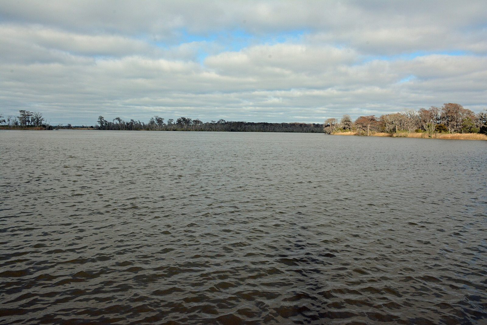
Formed where the Oconee and Ocmulgee join, and the largest river system on the Georgia coast — blackwater, broad, cypress-lined, running out through tidal marsh to the sea near Darien. There are no rapids and that is the point. This is float-and-look water, with a landscape that changes from swamp forest to salt marsh across a single day.
The Savannah River and the eastern border
The Savannah forms the entire Georgia–South Carolina line, and it is more a chain of reservoirs than a river for much of its length: Hartwell, then Russell, then Clarks Hill, before it runs free down to Augusta and on to the sea. The Augusta Riverwalk is the easiest public access to it, and the stretch through the city is flat, urban and pleasant rather than wild.
Below Augusta the river becomes a genuine blackwater float through swamp forest to Savannah, and almost nobody paddles it. It is the most overlooked long-distance water in Georgia, and the reason is simply that the lakes upstream get all the attention.
The Okefenokee
Not a river and not a lake, and the most remarkable water in the state. The refuge covers 353,981 acres, almost all designated Wilderness, and was inscribed as a UNESCO World Heritage Site on 25 July 2026, the 27th in the United States. Entry is $5 per vehicle for seven days, or $15 annually, at the Folkston and Suwannee Canal entrance, valid also at Stephen C. Foster State Park; America the Beautiful passes waive it. Hours run from half an hour before sunrise to 19:30 from March to October and 17:30 from November to February.
Two planning facts. The refuge runs no tours of its own — boat trips come from Okefenokee Adventures at Folkston on 912-496-7156 and from Stephen C. Foster on 912-637-5274. And wilderness canoe camping permits are released only two weeks ahead, by phone, on selected weekday mornings, which makes a multi-day paddle a planning exercise rather than a decision. Low water has been limiting boat and trail access, so call before driving out.
Fishing: what a license costs
Georgia’s licensing is cheap and straightforward, and the trout add-on is the part people miss. Figures below were checked in September 2026; buy online at GoOutdoorsGeorgia.com, the DNR’s own portal, or call 1-800-366-2661.
| License | Cost | Notes |
|---|---|---|
| Resident annual fishing | $15 | Valid 365 days from purchase, not to a calendar year-end |
| Resident trout license | $10 | In addition to the fishing license |
| Non-resident annual fishing | $50 | |
| Non-resident one-day | $10 | Plus $3.50 for each additional consecutive day |
| Non-resident trout license | $30 | In addition to the fishing license |
The trout license is what catches visitors out. Mountain trout fishing requires it on top of the basic license, and that includes the tailwaters below Buford and Blue Ridge dams as well as the obvious north Georgia streams. For a visiting angler planning three days on a north Georgia stream, the honest total is $50 plus $30, not $50 — and a one-day non-resident license plus the trout add-on is a cheaper way to try it.
What is actually in the water
Matching the species to the water is most of what separates a good Georgia fishing day from a long one. The broad picture:
- Largemouth bass — everywhere, and the reason most people fish here. Georgia’s claim on this species is not modest: the long-standing world record, 22 pounds 4 ounces, was caught by George Perry in Montgomery Lake, an oxbow off the Ocmulgee, in June 1932. It stood unbeaten for more than seventy years and was eventually matched rather than broken.
- Striped and spotted bass — Lanier is the state’s best-known striper fishery, with the fish holding deep and cold in summer. Spotted bass are widespread in the north Georgia reservoirs.
- Shoal bass — the Flint’s signature fish, a native river species that lives in shoals and rocky runs rather than still water, and one of the genuine reasons to paddle southwest Georgia.
- Trout — rainbow and brown in the north Georgia streams and in the tailwaters below Buford and Blue Ridge dams. Brook trout, the only native trout in the state, survive in cold headwater streams at elevation. All of it requires a trout license on top of the basic one.
- Crappie, bream and catfish — the everyday fish of the middle-Georgia reservoirs and the easiest to catch from a bank with children.
- Redbreast sunfish — the blackwater river fish, in the Altamaha, Satilla and Ogeechee, and the one that makes a slow southern river worth fishing rather than just floating.
Seasons and limits change, and they change by water body rather than statewide. Check the current regulations on the DNR’s site for the specific lake or stretch of river before you go; a rule that applies on Lanier may not apply on a delayed-harvest trout stream forty miles away.
Dam releases: the safety point nobody mentions
This is the single most important thing on this page. Almost all of Georgia’s notable moving water sits below a dam, and dam-controlled rivers do not behave like natural ones.
Water can rise fast, without warning to anyone not listening for it, and it arrives cold. The tailwater below Buford Dam runs cold year-round because it is drawn from deep in Lake Lanier, which is exactly why there are trout in it and exactly why standing in it in shorts in August is a worse idea than it looks. Below Blue Ridge Dam, the Toccoa does the same thing on a generation schedule.
What to actually do. Check the generation schedule for the dam above whatever water you are entering — the Corps and TVA both publish them — before you wade, launch or let children swim. Treat a rising waterline, a change in color or a sudden increase in debris as a reason to get out immediately rather than a curiosity. And know that schedules change: a published plan is a forecast, not a promise.
The same principle governs Tallulah Gorge, where the rule is written into the permit system. Gorge-floor access needs one of 100 free permits issued daily from 08:00 at the Interpretive Center — gone by about nine on summer weekends, last permits 16:00 April to October and 15:00 November to March, closed-toe shoes mandatory — and no permits at all are issued during scheduled water releases. Those release weekends are when the gorge is at its most spectacular and least accessible, which is not a coincidence.
Swimming: where you can and where you cannot
Georgia’s swimming rules vary by managing agency and are frequently misunderstood.
- Designated beaches at state parks and Corps parks. The safest and simplest option — Vogel, Unicoi, Red Top Mountain, Fort Yargo and many others. These are designated swim areas, which is not the same thing as staffed ones.
- Not at state park waterfalls. Swimming is not permitted at state park waterfalls, including Amicalola and Trahlyta. Tallulah Gorge has a designated area reachable with the floor permit.
- National forest falls are a mixed picture. Several, including Dukes Creek, have informal shallow pools where wading is normal. The rules differ by managing agency, so read the posted signs rather than assuming.
- Lifeguards are rare. Do not plan around them inland. On the coast, St. Simons has them only from Memorial Day to Labor Day, 11:00 to 16:00, and only at the Coast Guard Station and Massengale beaches.
- Water quality monitoring is coastal, not inland. Georgia’s Coastal Resources Division has tested coastal swimming beaches for bacteria since March 2004, with an advisory threshold of 70 colony-forming units of enterococcus per 100 millilitres, posted at coastalgadnr.org. There is no equivalent statewide public dashboard for inland lake beaches, so after heavy rain, use judgment.
The Forest Service also runs a standing waterfall-dangers alert for the Chattahoochee-Oconee National Forest: serious injuries and fatalities occur every year, and the guidance is to heed posted warnings and stay on established trails. Wet rock beside moving water is where Georgia’s outdoor accidents happen.
Boats, ramps and rentals
Renting is easy on Lanier, Allatoona, Blue Ridge, Oconee and Hartwell, where marinas rent pontoons and ski boats by the half or full day, and harder on the Georgia Power mountain lakes, where public access is concentrated at a few ramps. Kayak and canoe rental is widely available at state parks with lakes, usually by the hour at the boathouse, and it is the cheapest way onto the water in Georgia.
Two administrative points before you rent a motor boat. Georgia requires boater education for operators born on or after 1 January 1998 — confirm the current requirement and any exemptions with DNR or the rental operator before you book, because the rule has changed over the years and the rental company will ask. And boat-launch fees at Corps parks are separate from day-use parking; budget for both.
Sleeping on the water
The cheapest and easiest lakeside accommodation in Georgia is public, not private.
- State park cottages and campgrounds. Red Top Mountain on Allatoona, Vogel on Lake Trahlyta, Unicoi near Helen, Fort Yargo, Tugaloo and Hart on Lake Hartwell, Elijah Clark on Clarks Hill, and Stephen C. Foster in the Okefenokee. Published rates: campsites $23–$50, cottages and cabins $75–$250, yurts $75–$100, with no separate cleaning fee. The booking window opens 13 months ahead, 14 for Georgia residents, and a 50% deposit confirms a booking made 15 or more days out.
- Corps of Engineers campgrounds. Lanier, Allatoona, Hartwell, Carters and Clarks Hill all have them, often in better waterfront positions than the private sites nearby, and they book through the federal system rather than the state one.
- Private lake rentals. Deepest inventory around Blue Ridge, Burton and Oconee. Remember Georgia’s short-term rental arithmetic: a $5 per night state fee, 4% state sales tax applied to the total price including the cleaning fee, plus local excise — 6% in unincorporated Fannin County, 8% in the City of Blue Ridge. A $200 nightly rate over three nights is not a $600 bill.
The genuinely underrated option is Stephen C. Foster State Park, deep in the Okefenokee and reached through Fargo. It is a designated dark-sky park, the night sky there is the best in Georgia, and staying inside the refuge means being on the water at first light, which is when the swamp is worth the drive.
What a day on the water costs
Access charges in Georgia are small individually and add up quickly. Everything below was checked in September 2026 and should be verified with the operator before you pay.
| Item | Cost | Notes |
|---|---|---|
| State park parking | $10 per vehicle per day | $70 annual ParkPass; up from $5 on 1 Jan 2026 |
| Corps day use at Lanier | Around $8 in summer | Raised from $4; verify with the Mobile District |
| Corps boat launch | Separate from day use | Budget for both |
| Okefenokee entry | $5 per vehicle, 7 days | $15 annual; America the Beautiful waives it |
| Resident fishing license, annual | $15 | Valid 365 days from purchase |
| Trout license, resident | $10 | Required in addition, on all trout water |
| Non-resident fishing, annual | $50 | One-day $10, then $3.50 per extra day |
| Trout license, non-resident | $30 | Required in addition |
| Tubing at Helen | About $14 weekdays, $16 weekends | Memorial Day to Labor Day only; shuttles included |
| State park campsite | $23–$50 | Cottages $75–$250, yurts $75–$100 |
The cheapest full day on Georgia water, done properly: $10 to park at a state park, a kayak from the boathouse by the hour, and a $15 resident or $10 non-resident day fishing license. Under fifty dollars for two people, on water that in most states would cost considerably more to reach.
The most expensive mistake is buying the wrong license. A non-resident planning three days on a north Georgia trout stream needs the $50 annual plus the $30 trout endorsement, or a $10 day license plus the trout endorsement — and turning up with only the base license on a trout stream is the most common enforcement encounter visiting anglers have here.
Two to four-day water itineraries
Two days: the easy version, from Atlanta
Night at Red Top Mountain State Park on Lake Allatoona, in a cottage or campsite. Morning on the water with a rented kayak, afternoon on the beach, second morning at the lake again before an hour’s drive home. Total access cost: $10 a day parking plus rental. This is the cheapest good water weekend in Georgia.
Three days: the mountain lakes
Base in Clayton. Day one on Lake Burton or Lake Rabun from a public ramp. Day two at Tallulah Gorge — rim trails without a permit, or the floor with one collected at 08:00 sharp. Day three at Black Rock Mountain for the overlooks and home down US 441. Add a trout license if you intend to fish; the streams here need it.
Four days: rivers, north to south
Day one tubing the Chattahoochee at Helen, in season. Day two on the Toccoa below Blue Ridge Dam, checking the generation schedule first. Day three driving south to the Flint or the Altamaha for a flatwater float. Day four at the Okefenokee out of Folkston, with a boat trip booked in advance through Okefenokee Adventures. Roughly 400 miles, four entirely different kinds of water, and a genuine cross-section of the state.
Accessibility on the water
The picture is better at state and Corps parks than anywhere else. Corps day-use areas generally have paved parking, accessible restrooms and fishing piers, and several Georgia state parks have accessible fishing platforms and paved lake loops — Vogel’s loop around Lake Trahlyta is short, largely level and the easiest lake walk in north Georgia. Boat ramps are more variable and transfer facilities are rare.
State park cottages vary by park and the accessible units are limited in number, so call 1-800-864-7275 and ask about the specific unit rather than relying on a booking filter. For rentals and guided trips, ask the operator directly and in writing: Georgia’s outfitters vary widely in what they can accommodate and very few publish it.
Seasons
- Spring. Rivers run highest, which is when the Chattooga is at its best and the flatwater rivers are fastest. Lake water is still cold into May. Waterfalls peak.
- Summer. Lake season proper, and busy — Lanier and Allatoona on a July Saturday are boat traffic. Tubing runs Memorial Day to Labor Day. Afternoon thunderstorms build most days, and being on open water when one arrives is the most avoidable risk in Georgia recreation.
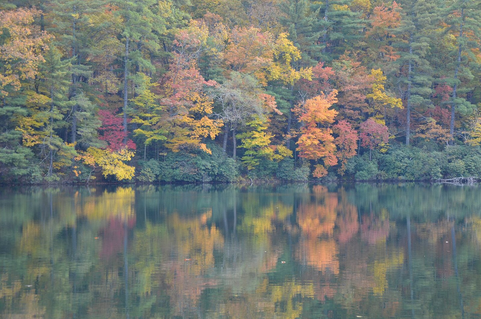
- Fall. The best time on the mountain lakes: color on the shoreline in late October, roughly a fortnight after the Smokies, and far fewer boats. Water stays warm enough to swim into early October on the big reservoirs.
- Winter. Fishing, tailwaters and empty water. The Okefenokee is at its best from late winter into spring, before the heat and the insects.
What to skip
- Lake Lanier on a summer Saturday, unless a busy lake is what you want. Go midweek, or go to Allatoona or Carters.
- Turning up at Tallulah Gorge at ten for a floor permit. They are gone. Be there at eight or plan the rim.
- Planning a Helen tubing trip in September. The season ends at Labor Day. Oktoberfest and tubing do not overlap.
- Booking a Chattooga Section IV trip as a first whitewater experience. It is Class IV–V. Section III is the one for a first full day.
- Assuming a mountain lake has public shoreline. On Burton, Rabun and Seed, almost none of it is public. Find the ramp before you find the lake.
Frequently asked questions
What is the best lake in Georgia?
Carters for water quality and quiet, Lanier for facilities and ease, Burton for looks. If you are choosing one and want to actually get in the water without owning a dock, Carters or a state park lake such as Trahlyta or Allatoona at Red Top Mountain.
Do I need a fishing license for a state park lake?
Yes. A Georgia fishing license is required for anyone of licensing age on public water, including state park lakes — $15 a year for residents, $50 for non-residents, or $10 for a non-resident day with $3.50 for each additional consecutive day. Trout water needs a trout license on top: $10 for residents, $30 for non-residents.
Are there natural lakes in Georgia?
Effectively no large ones. Every major lake here is a reservoir behind a dam, built by the Corps of Engineers, Georgia Power or the TVA. The state’s great natural water body is the Okefenokee, which is a peat-filled swamp rather than a lake — and since July 2026 a World Heritage Site.
Where can I swim with lifeguards?
Realistically, nowhere inland in Georgia on a dependable basis. State park and Corps beaches are designated swim areas rather than staffed ones. On the coast, St. Simons has lifeguards from Memorial Day to Labor Day, 11:00 to 16:00, at two beaches only.
How do I find out whether a dam is releasing?
Check the generation schedule published by the operating agency — the Corps of Engineers for Buford, Allatoona and Carters, the TVA for Blue Ridge — before you enter the water below any of them. Treat the schedule as a forecast rather than a guarantee, and get out at the first sign of a rising or discoloring waterline.
What is the cheapest way to get on the water?
A kayak rented by the hour at a state park boathouse, with $10 a day parking or a $70 annual ParkPass. Nothing else in Georgia comes close, and Vogel, Unicoi, Fort Yargo and Red Top Mountain all do it.
Which Georgia lake has the clearest water?
Carters, by a clear margin. Its shoreline is steep and largely undeveloped, it is the deepest reservoir in the state, and the difference against the middle-Georgia lakes is visible the moment you get in. The trade is fewer facilities and a longer drive from Atlanta.
Can I paddle the Okefenokee without a guide?
Yes, on the day-use trails from the entrances. Overnight wilderness canoe trips are the constrained ones: permits are released only two weeks ahead, by phone, on selected weekday mornings, and low water has been limiting access. Call before committing to the drive, and note that the refuge runs no tours of its own — guided trips come from Okefenokee Adventures at Folkston or Stephen C. Foster.
Is the water below a dam safe to swim in?
Treat it as a different river from the one above the dam. Tailwater is drawn from deep in the reservoir, so it runs cold year-round — that is why there are trout below Buford — and generation can raise the level quickly. Check the operating agency’s generation schedule before you wade or launch, and get out at the first sign of the water rising or discoloring.
Which lake is best for a first-time boat rental?
Allatoona or Lanier. Both have marinas that rent pontoons by the half or full day, both have plenty of ramps and fuel, and neither requires local knowledge to navigate. Go midweek if you can: a July Saturday on either is genuinely busy water, and busy water is the hardest place to learn.
Do Georgia’s lakes freeze?
No, not in any meaningful sense. Even the mountain lakes stay open, which is why winter fishing is a real season here and why the tailwaters fish well year-round. What winter does change is water temperature, and cold-water immersion is a genuine risk on a December paddle in a way it is not in July.
Most of the good waterfront on these lakes is public campground rather than public shoreline, which makes a campsite the simplest way onto the water for a whole weekend. Our guide to camping in Georgia compares the state park, Corps of Engineers and free dispersed options, with rates, booking windows and the hookups each one actually provides.
Related Georgia Guides
- Best Georgia State Parks — the parks with beaches, boathouses and lake cottages.
- Best Waterfalls in Georgia — heights, trails and where wading is and is not allowed.
- North Georgia Mountains Travel Guide — the region holding most of this water.
- Georgia Beaches & Islands — salt water, and the beach advisory system.
- Best Hiking in Georgia — the trails that reach the water.
- Georgia Cabins & Mountain Rentals — lake cabins and what they really cost.
- Georgia Family Vacations — which water suits which age.
- Romantic Getaways in Georgia — the Rabun lakes as a couples’ weekend.
- Georgia Road Trips & Scenic Drives — the driving between these lakes and rivers.
- Best Things to Do in Georgia — the statewide overview.
Photo Credits
Lake Lanier from the shoreline: photo by Thomson200 / Wikimedia Commons (CC0)
Lake Lanier seen from an overlook: photo by Thomson200 / Wikimedia Commons (CC0)
Carters Dam on the Coosawattee River, Murray County: photo by Adrien Lamarre, U.S. Army Corps of Engineers / Wikimedia Commons (Public domain)
The lower Altamaha River, McIntosh and Glynn Counties: photo by Bubba73 (Jud McCranie) / Wikimedia Commons (CC BY-SA 4.0)
Sources: Georgia Department of Natural Resources Wildlife Resources Division and GoOutdoorsGeorgia licensing portal; Georgia DNR State Parks & Historic Sites Division; US Army Corps of Engineers, Mobile District; Tennessee Valley Authority; Georgia Power; US Fish and Wildlife Service, Okefenokee National Wildlife Refuge; US Forest Service, Chattahoochee-Oconee National Forest; Georgia DNR Coastal Resources Division. Checked September 2026.
Georgia Tourism Guide is an independent publication. We are not affiliated with Explore Georgia, the Georgia Department of Natural Resources, the National Park Service or any attraction listed here.