Two things about hiking in Georgia catch people out, and neither appears on most trail lists. The first is that from mid-October to early January you are sharing the north Georgia woods with deer season, and on Wildlife Management Areas and national forest land that means wearing blaze orange rather than hoping. The second is that the state’s best-known summits have small parking lots that fill by nine on a Saturday. Everything else about the best hikes in Georgia — the mileage, the views, the waterfalls — is easier than people expect; the logistics are harder.
Georgia covers 78 miles of the Appalachian Trail, a thousand-foot gorge, a canyon on Lookout Mountain, a 729-foot waterfall, an eroded clay badland in the southwest corner and a swamp boardwalk on the Florida line. It is a genuinely varied hiking state, and the popular lists cover about eight of those places while recycling the same photographs.
This page chooses by objective rather than by ranking: the best first hike, the best waterfall, the best view, the best hike when it is 95 degrees. It normalizes mileage and difficulty so the numbers can be compared, and it is specific about permits, parking, hunting season, bears, heat and where to check conditions before you drive. Figures were checked in September 2026 and are date-stamped. Georgia here is the US state, and its trails are in the southern Appalachians and the coastal plain below them.
Georgia Hiking at a Glance
| Question | Short answer |
|---|---|
| Best single hike | Blood Mountain via the Appalachian Trail — the highest point on Georgia’s AT at 4,458 ft. |
| Best waterfall hike | Cloudland Canyon’s Waterfalls Trail. Over 600 metal steps, two falls, and a serious climb back out. |
| Best easy hike | Anna Ruby Falls — a paved half-mile to a double waterfall, $3 per person aged 16+. |
| What permits do I need? | Almost none. The exception is Tallulah Gorge’s floor: free, 100 a day, from 08:00. |
| Parking fees | $10 a day at state parks. Forest Service trailheads are mostly free; Brasstown Bald is $8 per person. |
| Hunting season | Firearms deer runs 17 October 2026 – 10 January 2027. Wear blaze orange in the woods. |
| Bear canisters? | Only for overnight camping on the AT between Jarrard Gap and Neel Gap, 1 March – 1 June. |
| Biggest rookie error | Starting a north Georgia summit at 11:00 in July. Start at seven, or go somewhere with water. |
How This List Works
Trail difficulty on crowdsourced apps is an average of strangers’ opinions, which is why a two-mile staircase and a six-mile ridge walk end up labeled the same thing. The ratings below use a fixed rule:
- Easy — under 2 miles round trip with less than 300 feet of climbing, on a graded or paved surface.
- Moderate — 2 to 6 miles, or 300 to 1,000 feet of climbing, on a normal trail surface.
- Strenuous — over 1,000 feet of climbing, sustained stairs, or more than about 8 miles.
Mileages are round trip unless stated and are taken from the managing agency where one publishes them — Georgia State Parks, the US Forest Service or the National Park Service — and given as approximations otherwise. Elevation figures are total gain, not summit height. Where an agency and a popular app disagree, the agency wins.
Pick by Objective
Your first real Georgia hike: Blood Mountain. Four and a half miles, a proper climb, a stone shelter at the top and a genuine sense of having done something.
The best view for the least work: Brasstown Bald. A shuttle or a steep paved half-mile gets you to a 360-degree deck at 4,784 feet, the highest point in the state.
The best waterfall: Cloudland Canyon’s Waterfalls Trail for drama; Amicalola for scale; Anna Ruby for effort-to-reward; Dukes Creek for the walk in.
With small children: Anna Ruby Falls, Vogel’s Trahlyta Lake loop, Sweetwater Creek’s first section to the mill ruins, or the Okefenokee boardwalks.
When it is 95 degrees: anything beside water or under canopy. Sweetwater Creek, the Chattahoochee River trails in Atlanta, Sitton’s Gulch at the bottom of Cloudland Canyon, or Panther Creek. Avoid exposed granite — Arabia, Stone Mountain and Yonah are ovens.
A full day: the Coosa Backcountry Trail at Vogel, about 13 miles with 3,000 feet of climbing, or the full 16-mile traverse at Kennesaw Mountain.
To avoid everyone: the Cohutta Wilderness, the Benton MacKaye Trail, Rabun Bald, Sprewell Bluff, or almost anything in south Georgia.
North Georgia Mountains
| Trail | Distance | Gain | Grade | Manager |
|---|---|---|---|---|
| Blood Mountain via AT (Byron Reece) | ~4.5 mi | ~1,500 ft | Strenuous | Forest Service |
| Springer Mountain from Big Stamp Gap | ~2 mi | ~300 ft | Easy | Forest Service |
| Amicalola Falls stairs (base to top) | ~2 mi | 604 steps | Strenuous | State park |
| Brasstown Bald summit trail | ~1 mi | ~450 ft | Moderate | Forest Service |
| Raven Cliff Falls | ~5 mi | ~400 ft | Moderate | Forest Service |
| Dukes Creek Falls | ~2.2 mi | ~300 ft | Moderate | Forest Service |
| Anna Ruby Falls | ~0.8 mi | ~170 ft | Easy | Forest Service |
| Preacher’s Rock, Woody Gap | ~2 mi | ~450 ft | Moderate | Forest Service |
| Yonah Mountain | ~4.4 mi | ~1,400 ft | Strenuous | Forest Service |
| Bear Hair Gap loop, Vogel | ~4 mi | ~900 ft | Moderate | State park |
| Coosa Backcountry loop, Vogel | ~13 mi | ~3,000 ft | Strenuous | State park |
| Tennessee Rock, Black Rock Mountain | ~2.2 mi | ~600 ft | Moderate | State park |
| Tallulah Gorge rim and Hurricane Falls | ~2 mi | ~350 ft + stairs | Moderate | State park |
| Panther Creek Falls | ~7 mi | ~500 ft | Moderate | Forest Service |
| Rabun Bald from Beegum Gap | ~3.2 mi | ~900 ft | Moderate | Forest Service |
| Jacks River Falls, Cohutta Wilderness | ~9 mi | ~1,000 ft | Strenuous | Forest Service |
| Len Foote Hike Inn Trail | 5 mi one way | ~1,000 ft | Moderate | State park |
Blood Mountain is the one to do first. The Byron Reece lot is small and fills by mid-morning at weekends; the overflow is a roadside pull-in at Neel Gap, which adds a mile each way. The 1934 CCC stone shelter at the top is worth going inside, and the ridge view north on a clear day is the best on Georgia’s stretch of trail.
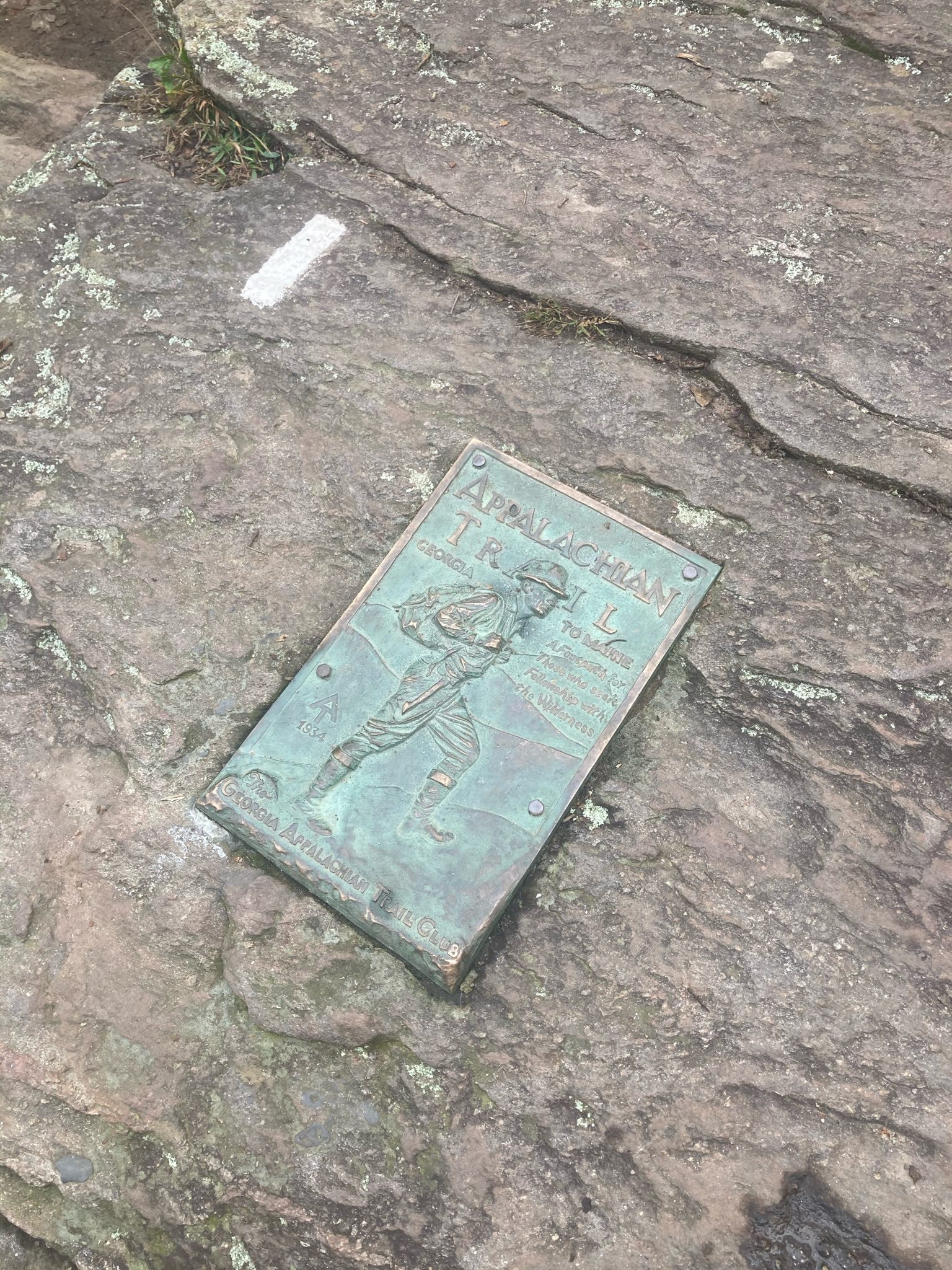
Springer Mountain is the Appalachian Trail’s southern terminus and, from Big Stamp Gap, an easy two miles — which surprises people who assume it must be hard. The bronze plaque set into the summit rock was placed by the Georgia Appalachian Trail Club in 1934. The road in is Forest Service gravel and rough in places; a low car will manage it dry and struggle wet.
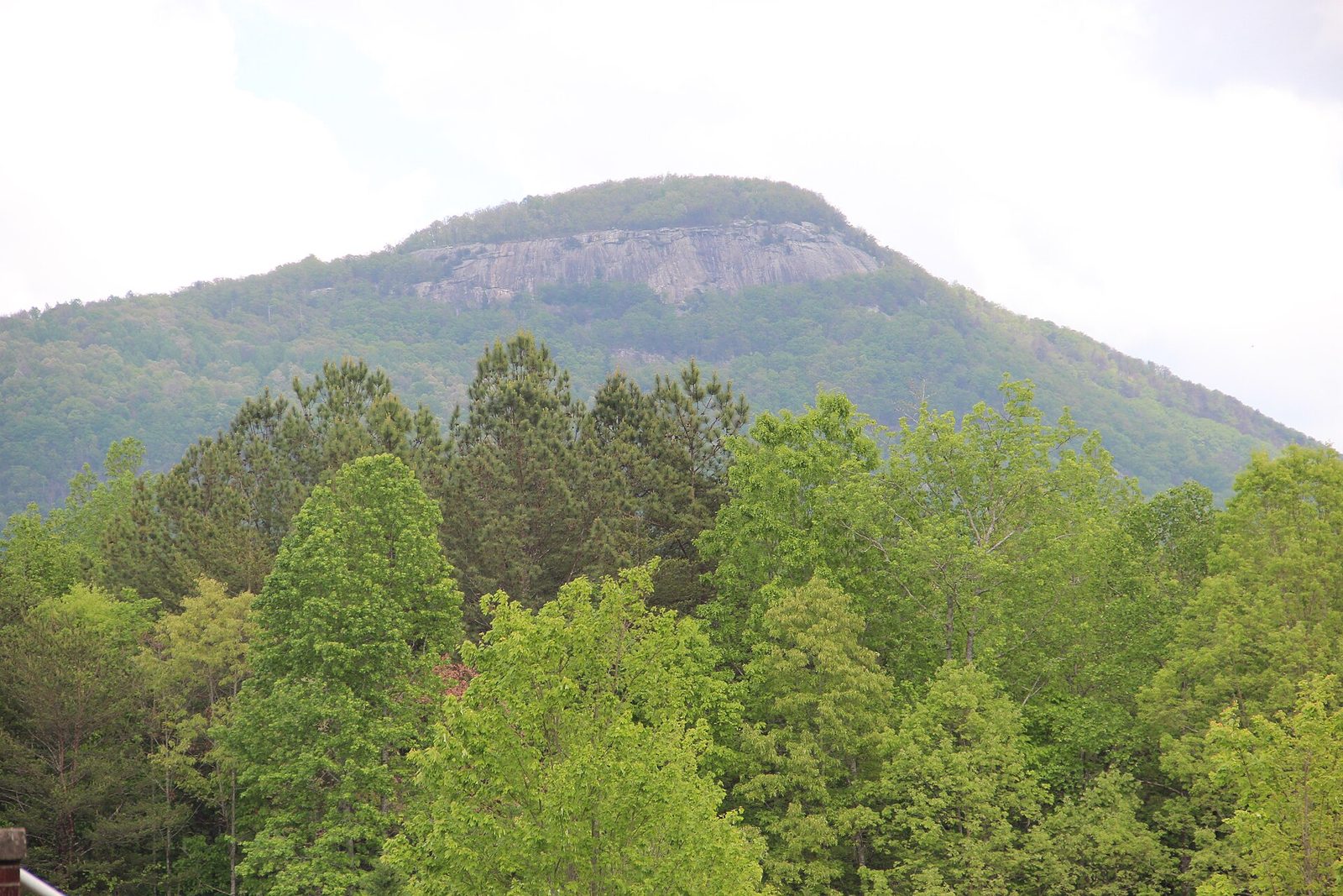
Yonah Mountain near Cleveland is the sleeper. A steady 1,400-foot climb to a granite face with a long view south, and an unusual feature: the cliffs are a US Army training area, so you may share the summit with soldiers on ropes. Check for closures before you go.
Raven Cliff Falls follows Dodd Creek past a string of small cascades to a waterfall that emerges through a split in a granite outcrop — genuinely unlike anything else in the state. The trailhead is small and fills early.
Tallulah Gorge needs its own note. The rim trails, the overlooks and the suspension bridge 80 feet above the riverbed need nothing but your $10 ParkPass. The gorge floor requires a free permit, capped at 100 a day, issued from 08:00 at the interpretive center and typically gone by 09:00 on a summer weekend. Last permits go out at 16:00 from April to October and 15:00 from November to March. Closed-toe shoes are required and rangers check. No permits are issued at all during scheduled water releases.
Northwest Georgia
| Trail | Distance | Gain | Grade | Notes |
|---|---|---|---|---|
| Waterfalls Trail, Cloudland Canyon | ~2 mi | 600+ steps | Strenuous | Cherokee and Hemlock Falls |
| West Rim Loop, Cloudland Canyon | ~4.5 mi | ~500 ft | Moderate | The canyon at full scale |
| Sitton’s Gulch, Cloudland Canyon | ~5 mi | ~600 ft | Moderate | Bottom-up; shaded and cool |
| Gahuti Trail, Fort Mountain | ~8.2 mi | ~1,200 ft | Strenuous | Full loop of the mountain |
| Stone wall and tower, Fort Mountain | ~1.2 mi | ~200 ft | Easy | 855 ft of prehistoric wall |
| Rocktown, Pigeon Mountain | ~2 mi | Minimal | Easy | Sandstone boulder field; a WMA |
Cloudland Canyon is the strongest single park for hiking in Georgia. Take the Waterfalls Trail first — going down is easy and the return in July is a genuine effort — and the West Rim Loop after lunch. The Sitton’s Gulch entrance at the bottom lets you reverse the climb, which is the smarter way round in heat. Parking fills by mid-morning on autumn weekends.
Rocktown sits on a Wildlife Management Area, which matters in the autumn: check the hunt calendar and wear orange.
Metro Atlanta
| Trail | Distance | Gain | Grade | Notes |
|---|---|---|---|---|
| Red Trail, Sweetwater Creek | ~2 mi | ~300 ft | Moderate | Mill ruins; rocky and steep in places |
| Kennesaw Mountain summit | ~2.5 mi | ~700 ft | Moderate | Free; NPS battlefield |
| Kennesaw full traverse | ~16 mi | ~2,400 ft | Strenuous | Four summits end to end |
| Stone Mountain Walk-Up Trail | 2.6 mi | ~825 ft | Moderate | 1.3 mi each way; $20 parking |
| Arabia Mountain | ~2 mi | ~200 ft | Easy | Granite monadnock; no shade |
| East Palisades, Chattahoochee NRA | ~3.8 mi | ~500 ft | Moderate | River bluffs and a bamboo grove |
| Vickery Creek, Roswell | ~3 mi | ~300 ft | Moderate | Mill dam and covered bridge |
| Panola Mountain summit | ~3.5 mi | ~250 ft | Moderate | Guided access only; book ahead |
Sweetwater Creek, thirty minutes west of downtown, is the best short-notice hike in the state: a genuinely rocky creek trail past the burned brick shell of the New Manchester mill, torched by Union troops in 1864. The Red Trail is steeper and rougher than the mileage suggests.
Kennesaw Mountain is free, open early, and busier than anywhere else on this page — it is the exercise trail for a large chunk of the northwest suburbs. Go at dawn. The full sixteen-mile traverse across all four summits is the best long day inside the Perimeter.
Panola Mountain protects an intact granite outcrop, and you can only reach the summit on a ranger-guided hike, booked ahead. That restriction is why the lichen there is still alive and Stone Mountain’s is not.
Middle and South Georgia
| Trail | Distance | Gain | Grade | Notes |
|---|---|---|---|---|
| White Loop, Providence Canyon | ~3 mi | ~300 ft | Moderate | Canyon floor; expect wet feet |
| Pine Mountain Trail, F.D. Roosevelt | 23 mi total | Varies | Moderate | Day loops of 4–7 mi available |
| Dowdell’s Knob loop | ~4.3 mi | ~600 ft | Moderate | Roosevelt’s picnic spot |
| Chesser Island boardwalk, Okefenokee | ~1.5 mi | Flat | Easy | Swamp prairie and a tower |
| Parallel Trail, Cumberland Island | Varies | Flat | Easy–moderate | Maritime forest; no water on island |
| Big Ferry / Sandpiper, Skidaway Island | ~3 mi | Flat | Easy | Salt marsh boardwalks |
| Sprewell Bluff | ~3 mi | ~400 ft | Moderate | Flint River gorge; almost empty |
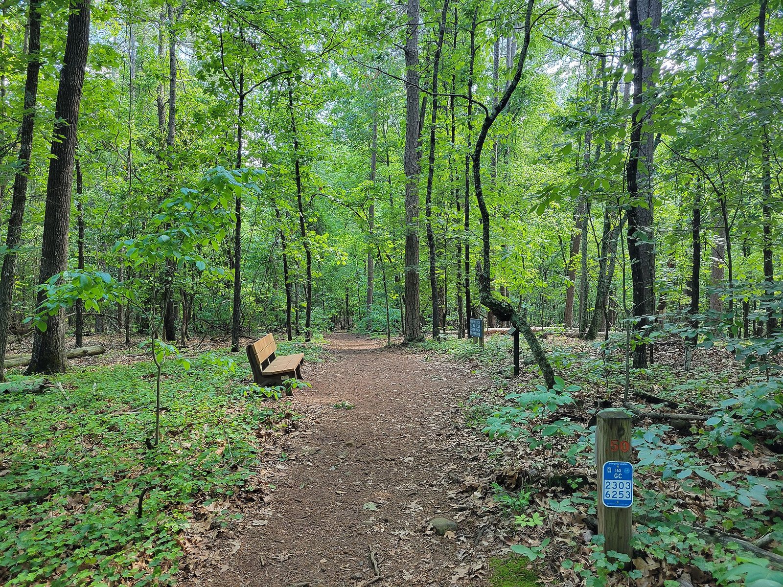
The south is Georgia’s least-hiked half and the Pine Mountain Trail is its best asset — 23 miles along a quartzite ridge with a good network of connectors that let you build a four-to-seven-mile day. Providence Canyon‘s White Loop runs along the canyon floor between the clay walls, and the floor holds standing water for days after rain, so wear boots you do not mind ruining.
Permits, Fees and Parking
Georgia asks very little of hikers, which is part of the appeal. The complete list of what you actually pay:
- State parks — $10 per vehicle per day, or $70 annually, through the ParkPass system. No per-person trail fee.
- National forest — most trailheads are free. Staffed recreation areas charge: Brasstown Bald $8 per person (10:00–17:00, $5 after hours), Anna Ruby Falls $3 per person aged 16 and over.
- National Park Service — Kennesaw Mountain is free; Cumberland Island charges $15 per person for seven days plus the ferry.
- Tallulah Gorge floor — free permit, 100 per day, in person from 08:00. The only quota on this page.
- Blood Mountain overnight — a hard-sided bear canister is required between Jarrard Gap and Neel Gap from 1 March to 1 June.
- Stone Mountain — $20 per vehicle per day, which includes the Walk-Up Trail. Figures are from secondary sources; confirm before you go.
On parking: the lots at Blood Mountain, Raven Cliff, Yonah, Panther Creek and Cloudland Canyon are all small and all fill by mid-morning on weekends from April to November. There is no reservation system for any of them. Arrive by 08:30 or accept a roadside walk-in, and do not block Forest Service gates — they tow.
Hunting Season: The Thing Hikers Miss
This is the most consequential omission from most Georgia trail lists. Large parts of the north Georgia woods, including many popular trailheads, are Wildlife Management Areas or national forest open to hunting, and the season overlaps exactly with the best hiking weather.
For 2026-27: archery runs 12 September to 9 October; primitive weapons and youth firearms 10 to 16 October; and statewide firearms deer season runs 17 October 2026 to 10 January 2027, extended to 14 January in nine southwest counties.
Hiking is allowed year round on WMAs unless a specific area is posted closed. But hunter orange — at least 500 square inches of daylight fluorescent orange or pink, worn above the waist — is required on WMAs, Voluntary Public Access land and federal land during primitive-weapons and firearms hunts for deer, bear and the special coyote and feral hog hunts. Even where it is only recommended, wear it. A blaze orange hat and vest weigh nothing, cost very little, and October in the north Georgia woods is exactly when you want to be visible. Keep dogs on a leash and in an orange vest too.
State parks are the exception: hunting is not permitted in them, so Cloudland Canyon, Vogel, Tallulah, Amicalola, Black Rock Mountain and Fort Mountain are orange-free. That is a good reason to weight your autumn hiking toward the parks.
Bears, Snakes and the Thing That Actually Gets People
Black bears live across north Georgia and are common around Blood Mountain in particular. Day hikers essentially never have a problem. Overnight campers do, which is why the Forest Service requires a hard-sided canister between Jarrard Gap and Neel Gap from March to June — a rule dating to 2012 after years of hikers storing food in the summit shelter taught the local bears that it was a reliable larder. Do not leave food in a pack on the trail while you scramble, and never leave a dog tied outside overnight.
Snakes. Copperheads are widespread and timber rattlesnakes live in the mountains; both are venomous and both would rather not meet you. Almost every bite in the state comes from someone handling or trying to move a snake. Watch where you put your hands on rock scrambles, step onto logs rather than over them, and leave them alone.
And the one nobody warns you about: yellow jackets. They nest in the ground, they are at their most numerous and most aggressive in late summer and early autumn, and a nest beside a trail can produce dozens of stings in seconds. If you hear a sudden sustained buzzing at ankle height, move away fast and do not stop to look. Anyone who has reacted badly to a sting before should carry what their doctor has prescribed.
Ticks are heavy from spring through autumn; check afterwards. Poison ivy is everywhere and grows as a hairy vine up tree trunks as well as a ground plant.
Heat, Storms and Water
From June to September, Georgia hiking is governed by heat rather than distance. Highs in the 90s with humidity push the heat index higher, and a four-mile climb that is pleasant in April is genuinely dangerous at two in the afternoon in July. The workable pattern is to start at first light, be off exposed rock by eleven, and carry more water than seems necessary — there is no treated water on any trail in this guide, and the springs marked on maps are not reliable in a dry summer.
Afternoon thunderstorms build most summer days from about three. Lightning on an exposed granite summit — Yonah, Arabia, Stone Mountain, Brasstown Bald’s deck — is a real risk, not a theoretical one. Plan to be down before the clouds build.
Winter brings the opposite problem: north-facing slopes hold ice well after the roads have cleared, and the stairs at Amicalola, Cloudland Canyon and Tallulah get genuinely treacherous. Microspikes are worth carrying from December to February in the mountains.
Dogs on Georgia Trails
Georgia is a good hiking state for dogs. Leashed dogs — six feet maximum, owner present — are welcome on almost every state park trail, and the Forest Service and the Appalachian Trail allow leashed dogs throughout north Georgia. National Park Service units set their own rules and vary, so check the specific unit before driving.
Practical cautions: summer rock gets hot enough to burn pads; there is no water on most trails so you are carrying theirs too; the metal staircases at Cloudland Canyon and Amicalola are hard on dogs and some will refuse them; and in autumn a dog in the woods should be leashed and wearing orange.
Accessible Trails
The genuinely accessible options are fewer than the tourism material suggests, but they are good ones. Anna Ruby Falls is a paved grade to a viewing platform at a double waterfall. Amicalola Falls has a reflection pool and lower viewing area reachable by car with a short paved path, which means you can see the falls without the 604 steps. Tallulah Gorge‘s rim overlooks are paved and give the full gorge view. The Arabia Mountain PATH is a paved multi-use trail through the granite outcrop landscape. The Okefenokee boardwalks and Skidaway Island‘s marsh boardwalks are flat, railed and among the best wildlife walks in the state.
Most state park visitor centers, picnic areas and fishing piers are accessible even where the trails are not. Contact the individual park, which will give you a specific answer rather than a policy.
Backpacking and Multi-Day Routes
Georgia has four genuinely good multi-day options and they are all quieter than the day hikes above.
The Georgia Appalachian Trail — 78 miles from Springer Mountain to Bly Gap on the North Carolina line — is the classic, and a comfortable six or seven days with shelters spaced through it. The southbound direction is easier on the legs. Spring is the busy season because northbound thru-hikers start here in March and April, so a section hike in September or October is a different and much emptier trail. Remember the bear canister requirement between Jarrard Gap and Neel Gap from March to June.
The Benton MacKaye Trail shadows the AT north from Springer and carries a small fraction of the traffic. Its Toccoa River swinging bridge is among the longest footbridges on any eastern trail, and the first thirty miles make an excellent long weekend.
The Cohutta Wilderness, northwest of Blue Ridge, is the most demanding walking in the state. The Jacks River and Conasauga River trails run up the riverbeds themselves, with dozens of fords, and water levels decide whether the route is a pleasure or a serious problem. Do not attempt either after heavy rain, and expect wet feet from the first mile regardless.
The Pine Mountain Trail at F.D. Roosevelt State Park is the southern option: 23 miles along a quartzite ridge with backcountry campsites, a permit from the park office, and a season that works in winter when the mountains are iced.
For all of these, water is the constraint. Georgia’s springs are unreliable in a dry autumn, the rivers in the Cohuttas need filtering, and there is no treated water on any of them.
If You Want the Trail to Yourself
Every popular hike above has a quieter equivalent, and the trade is usually twenty minutes more driving rather than a worse walk.
- Instead of Blood Mountain, walk to Preacher’s Rock from Woody Gap — two miles, a similar long view, a fraction of the people.
- Instead of Brasstown Bald, climb Rabun Bald from Beegum Gap. It is the second-highest point in Georgia, it has a stone observation platform, and there is no shuttle and no fee.
- Instead of Amicalola Falls, walk to Dukes Creek Falls or Raven Cliff — both better walks, neither with a staircase or a crowd.
- Instead of Tallulah Gorge on a Saturday, go to Panther Creek Falls, twenty minutes away, where the reward at the end is a broad falls and a sand beach.
- Instead of Kennesaw Mountain, use East Palisades on the Chattahoochee, or drive to Sprewell Bluff on the Flint River, which is almost always empty.
- Instead of Stone Mountain, book a guided summit hike at Panola Mountain — the same granite landscape, intact, with a ranger explaining what is growing on it.
The broader principle: Georgia’s crowding is concentrated on about ten trailheads within two hours of Atlanta, on weekends, between April and November. Move any one of those three variables and the state empties out.
Where to Check Conditions
Trail information in Georgia goes stale quickly, and the agencies update faster than any third-party app. Before you drive more than an hour, check the managing agency directly: gastateparks.org for the individual park’s alerts page, the Chattahoochee-Oconee National Forest pages on fs.usda.gov for forest road and trail closures, nps.gov for Kennesaw Mountain, Cumberland Island and Chattahoochee River NRA, and appalachiantrail.org plus the Georgia Appalachian Trail Club for AT closures, bear activity and food-storage orders. For hunting dates and WMA-specific rules, Georgia DNR publishes the current regulations each season.
The things most likely to have changed since you last looked: a forest road closed by washout, a water release at Tallulah, a bear food-storage order, a prescribed burn, and a WMA hunt.
What to Carry in Georgia Specifically
Most general packing advice applies. Four things are particular to this state.
More water than the distance suggests. There is no treated water on any trail here and Georgia’s humidity means you sweat through supplies faster than the mileage implies. Two liters for a four-mile summer hike is a floor, not a target.
Blaze orange, from mid-October to mid-January. A hat and a vest fold into nothing and are required on public hunting land during firearms season. Keep a set in the car through autumn and you never have to think about it again.
Proper shoes, for a specific reason. Beyond the usual: Tallulah Gorge requires closed-toe shoes for the floor and rangers turn people away, and the metal stair treads at Cloudland Canyon and Amicalola are slick when wet.
A downloaded map. Cell coverage is absent across much of Rabun, Towns, Union and Fannin counties, and the Forest Service road network is genuinely confusing — several popular trailheads are reached by unsigned gravel with multiple junctions. Download the area before you leave the four-lane.
Add a headlamp if you are anywhere near sunset, insect repellent from March to November, and a tick check habit. Trekking poles earn their place on the long staircases more than on the climbs.
A Note on the Georgia Landscape
It helps to know what you are walking on. North of the Fall Line — the geological boundary running through Columbus, Macon and Augusta where the hard rock of the Piedmont meets the soft sediment of the coastal plain — the trails are on weathered metamorphic rock, red clay and hardwood forest, and the rivers run over shoals rather than sandbars. That line is why Georgia’s waterfalls are all in the northern third of the state and why the south is flat.
The Blue Ridge in the far north is the oldest terrain, and the reason the summits are rounded rather than jagged: these mountains have been eroding for something like 300 million years. The granite monadnocks around Atlanta — Stone Mountain, Arabia, Panola — are the hard cores of ancient intrusions left standing as the softer rock around them wore away, which is why they look so out of place.
South of the Fall Line the walking changes completely: sand, pine, blackwater rivers and, in the far southwest, the soft soils that let Providence Canyon erode 150 feet deep in two centuries. It is less dramatic and much emptier, and in January, when the mountains are iced and the coastal plain is 60 degrees, it is the best hiking in the state.
Frequently Asked Questions
What is the best hike in Georgia?
Blood Mountain via the Appalachian Trail, for most people — about four and a half miles, 1,500 feet of climbing, and the highest point on Georgia’s stretch of the AT at 4,458 feet. Cloudland Canyon’s Waterfalls Trail is the best waterfall hike, and Brasstown Bald gives the best view for the least effort.
Do I need a permit to hike in Georgia?
Almost never. The only quota is Tallulah Gorge’s floor, which needs a free permit capped at 100 a day, issued in person from 08:00. Overnight campers on the AT between Jarrard Gap and Neel Gap need a bear canister from 1 March to 1 June. Everything else is a parking fee at most.
Is it safe to hike during hunting season?
Yes, with sense. Hiking is allowed year round on Wildlife Management Areas unless posted otherwise, but firearms deer season runs 17 October 2026 to 10 January 2027 and blaze orange is required on WMAs and federal land during firearms and primitive-weapons hunts. Wear an orange hat and vest, keep dogs leashed and in orange, or hike in state parks, where hunting is not permitted.
Are there bears on Georgia trails?
Yes, across north Georgia, and particularly around Blood Mountain. Day hikers rarely have any problem. Overnight campers between Jarrard Gap and Neel Gap must carry a hard-sided bear canister from March to June. Do not leave food unattended and never feed one.
What is the easiest waterfall hike in Georgia?
Anna Ruby Falls — a paved half-mile each way to a double waterfall, two miles above Unicoi State Park, at $3 per person aged 16 and over. Amicalola’s upper viewing area is reachable by car with a short paved walk if the 604 steps are not an option.
When is the best time to hike in Georgia?
April to early June and late September to November. October gives the best color but also the crowds and the start of firearms season. Winter is underrated — leafless woods open up views, waterfalls run hard, and the trails are empty — though north-facing slopes hold ice.
How busy do the trailheads get?
Blood Mountain, Raven Cliff, Yonah, Panther Creek and Cloudland Canyon all fill their lots by mid-morning on weekends from April to November, and none has a reservation system. Arrive by 08:30, go midweek, or pick something from the low-crowd list.
Can I hike the Appalachian Trail in Georgia?
Yes — 78 miles of it, from Springer Mountain to the North Carolina line at Bly Gap, which is a comfortable week. Springer itself is an easy two-mile walk from Big Stamp Gap, and Neel Gap has the only building the trail passes through in 2,000 miles.
A fair number of the trails above end at falling water, and the question that decides whether the walk is worth it is not distance but flow. Georgia’s waterfalls run hardest from December to April and can drop to a trickle by September — which is why so many autumn waterfall photographs look thinner than the brochures. Our guide to waterfalls in Georgia covers sixteen of them with verified heights where they exist, the access road for each, where swimming is legal, and a straight account of why people die on the wet rock.
Several of these trails are best reached by sleeping at the trailhead rather than driving to it at dawn, and the Blood Mountain section of the Appalachian Trail carries a bear canister requirement between March and June that day hikers never encounter. Our guide to camping in Georgia sets out those rules alongside the state park booking window and the national forest’s 14-day dispersed camping limit.
Related Georgia Guides
- Best Georgia state parks — all 49 by drive time, with the ParkPass rules and the Tallulah permit system.
- North Georgia mountains guide — base towns, roads and fall color by elevation.
- Cabins in Georgia — where to stay near the trailheads, and what a cabin really costs.
- Best weekend getaways in Georgia — fourteen short breaks ranked, several of them hiking weekends.
Photo Credits
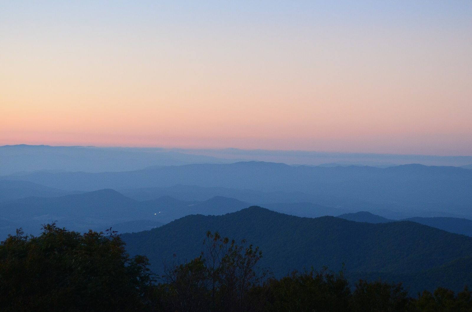
Blue Ridge ridgelines from Brasstown Bald (featured image): photo by Anthony Rizzo / Wikimedia Commons (CC BY-SA 4.0)
Appalachian Trail plaque, Springer Mountain: photo by Lahti213 / Wikimedia Commons (CC BY-SA 4.0)
Yonah Mountain: photo by Thomson200 / Wikimedia Commons (CC0)
Environmental Trail, Kennesaw Mountain National Battlefield Park: photo by John Phelan / Wikimedia Commons (CC BY 4.0)
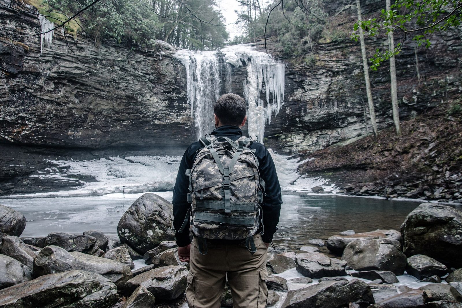
Waterfall at Cloudland Canyon State Park: photo by Nikolay Loubet / Wikimedia Commons (CC BY 3.0)
Tallulah Gorge from an overlook: photo by Thomson200 / Wikimedia Commons (CC0)
Sources and Corrections
Georgia’s 2026-27 deer season dates and the 500-square-inch blaze orange requirement are per Georgia DNR and the state hunting regulations, September 2026. The Blood Mountain bear canister order is per the US Forest Service, the Georgia Appalachian Trail Club and the Appalachian Trail Conservancy. Tallulah Gorge permit rules are as posted by the park. ParkPass, Brasstown Bald and Anna Ruby Falls fees are per Georgia State Parks and the US Forest Service. Stone Mountain figures are from secondary sources because the park keeps pricing inside a booking flow, and are hedged. Trail mileages and elevation gains are taken from the managing agency where published and given as approximations otherwise; no trailhead parking capacity is published officially, so this guide describes arrival times rather than space counts. Conditions change fast; check the managing agency’s alerts page before you drive.
Georgia Tourism Guide is an independent publication. We are not affiliated with Explore Georgia, the Georgia Department of Natural Resources, the National Park Service or any attraction listed here.